Example - Orthomosaic Mapping with SWIR Camera
Example - Orthomosaic Mapping with SWIR Camera
Become a customer to access all support documents.
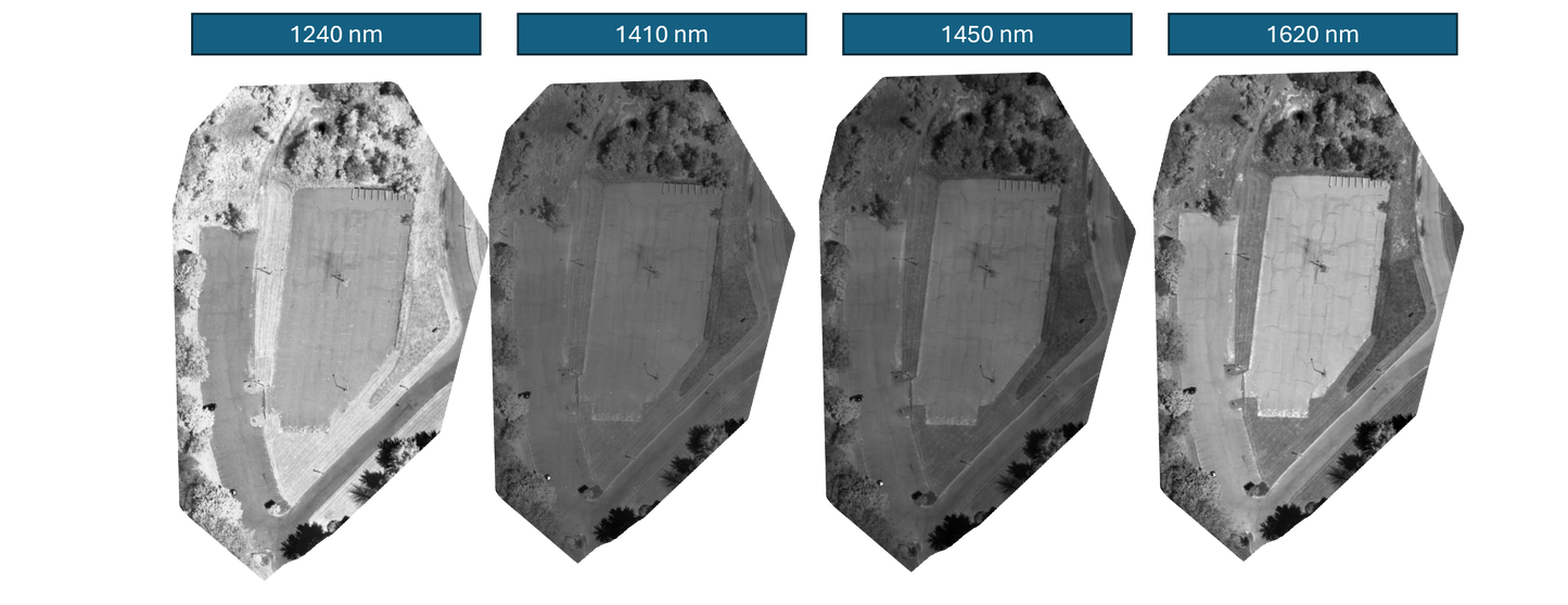
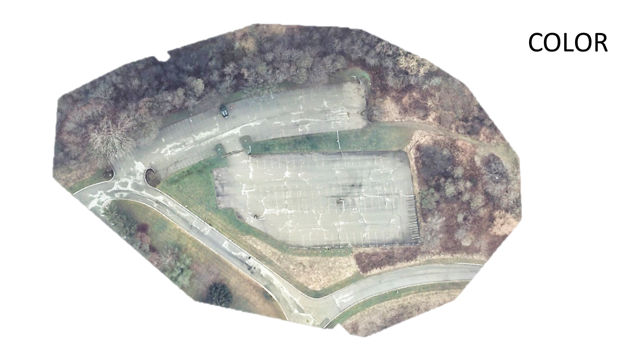
This image set was captured using MSDC-2-4 system equipped with a MSC2-RGBN and a custom SWIR camera with four spectral bands - 1240 nm, 1410 nm, 1450 nm and 1620 nm. Both cameras were equipped with a 25 mm standard lens with an aperture of f/4. Images were collected flying the drone in a grid pattern at an altitude of 100 m resulting in a field of view of 44 m x 44 m per frame and a ground pixel size of 8.3 cm x 8.3 cm.
Data set consisted of 164 images per band. All image pre-processing and image geotagging was performed using Spectral Devices multispectral batch processing software msInspector. The Open Drone Maps software WebODM was used to reconstruct multispectral orthomosaic map and QGIS software was used for data visualization.