

Example NDVI Survey
Example NDVI Survey
Become a customer to access all support documents.
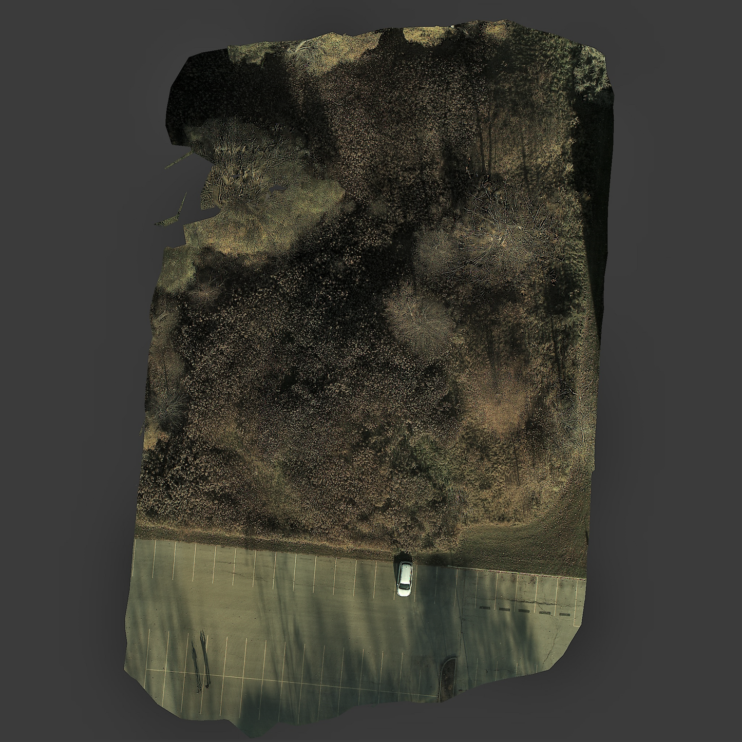
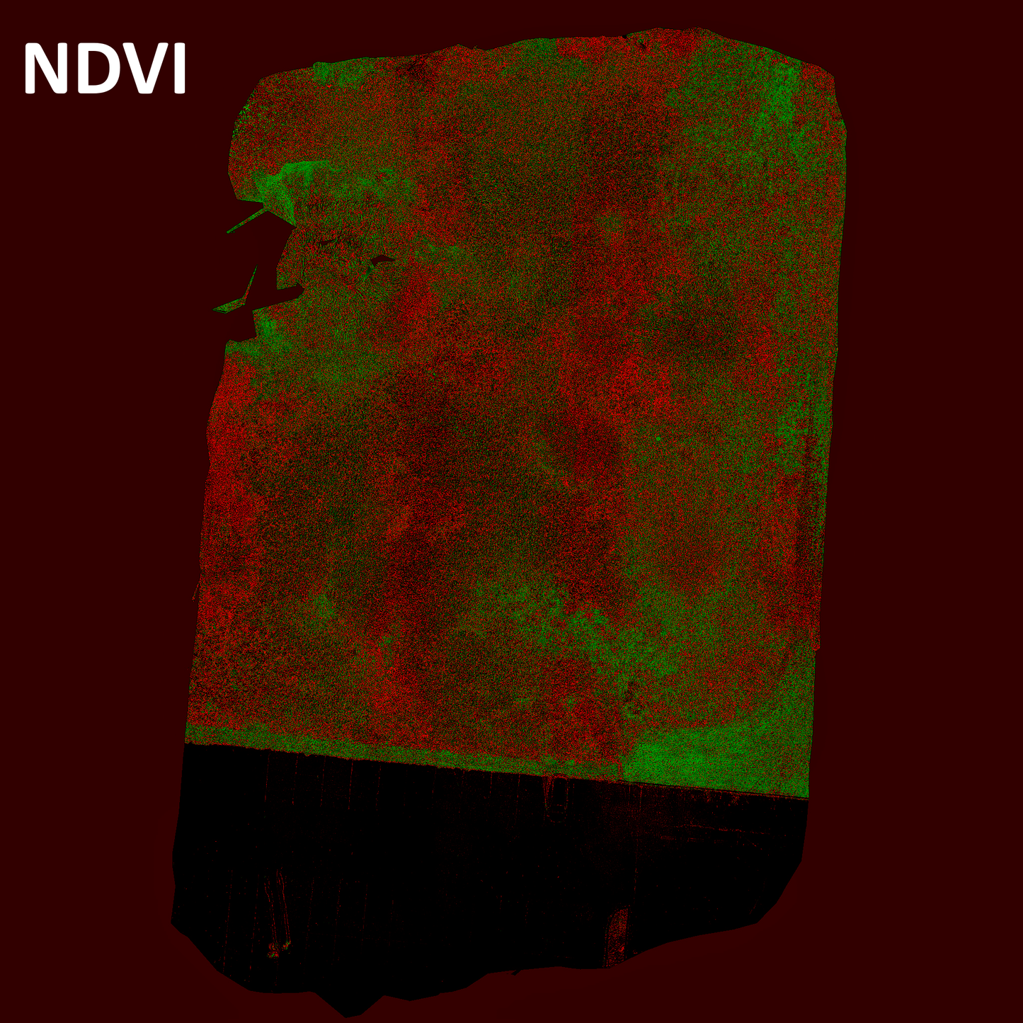
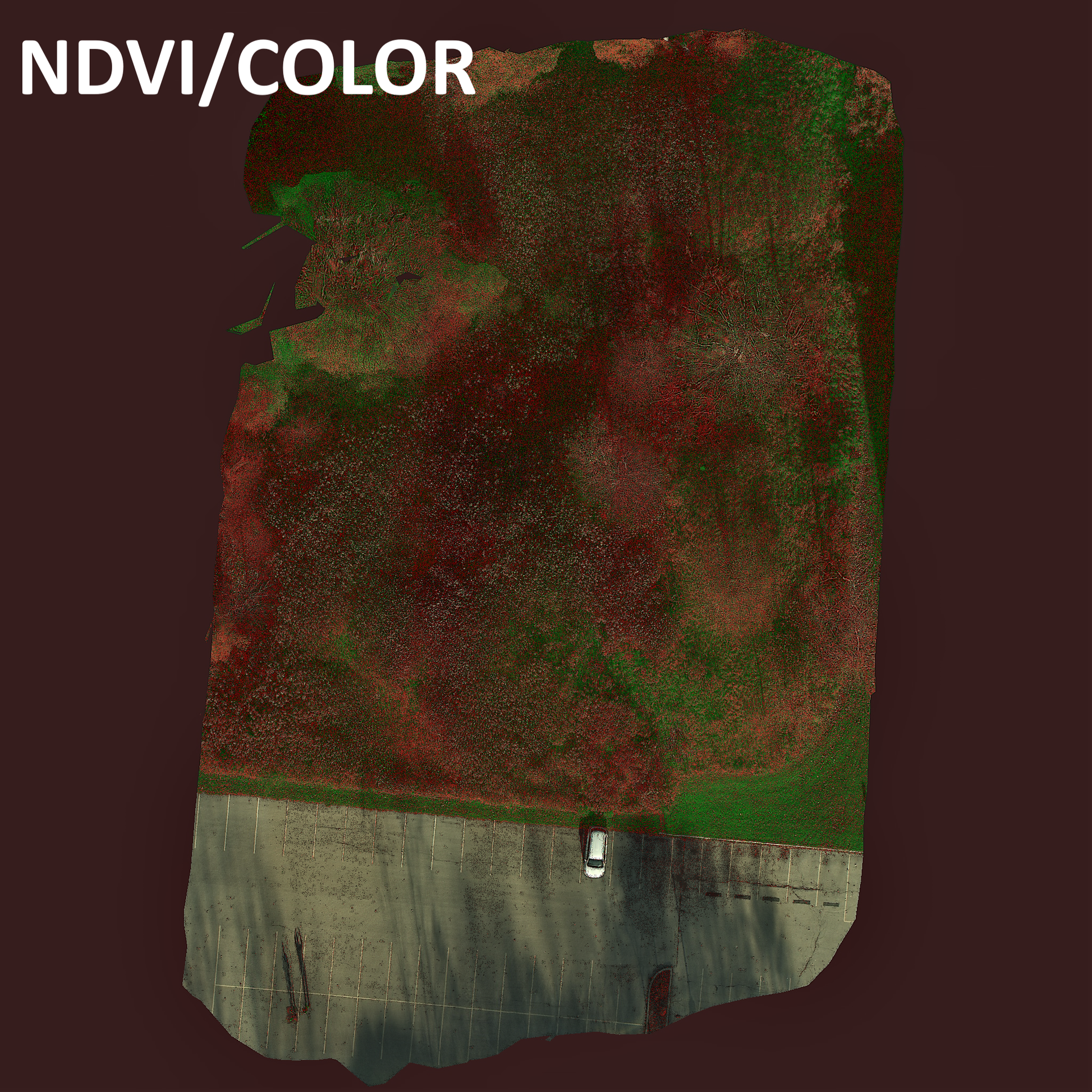
This image set was captured using an MSDC-RGBN-1-A drone camera, consisting of 167 RGB-NIR multispectral images that were used to reconstruct composite color and NDVI images. The NDVI image highlights areas with high levels of chlorophyll in vegetation as brilliant green, while areas lacking chlorophyll are depicted in red. Precise co-registration of color and NDVI is achieved through an overlay of NDVI on COLOR at 50% transparency (NDVI/COLOR).
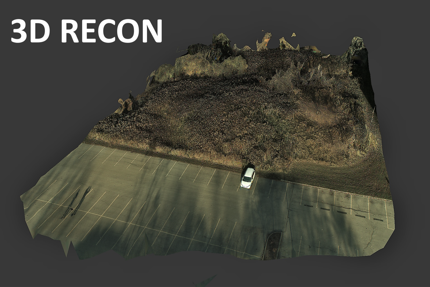
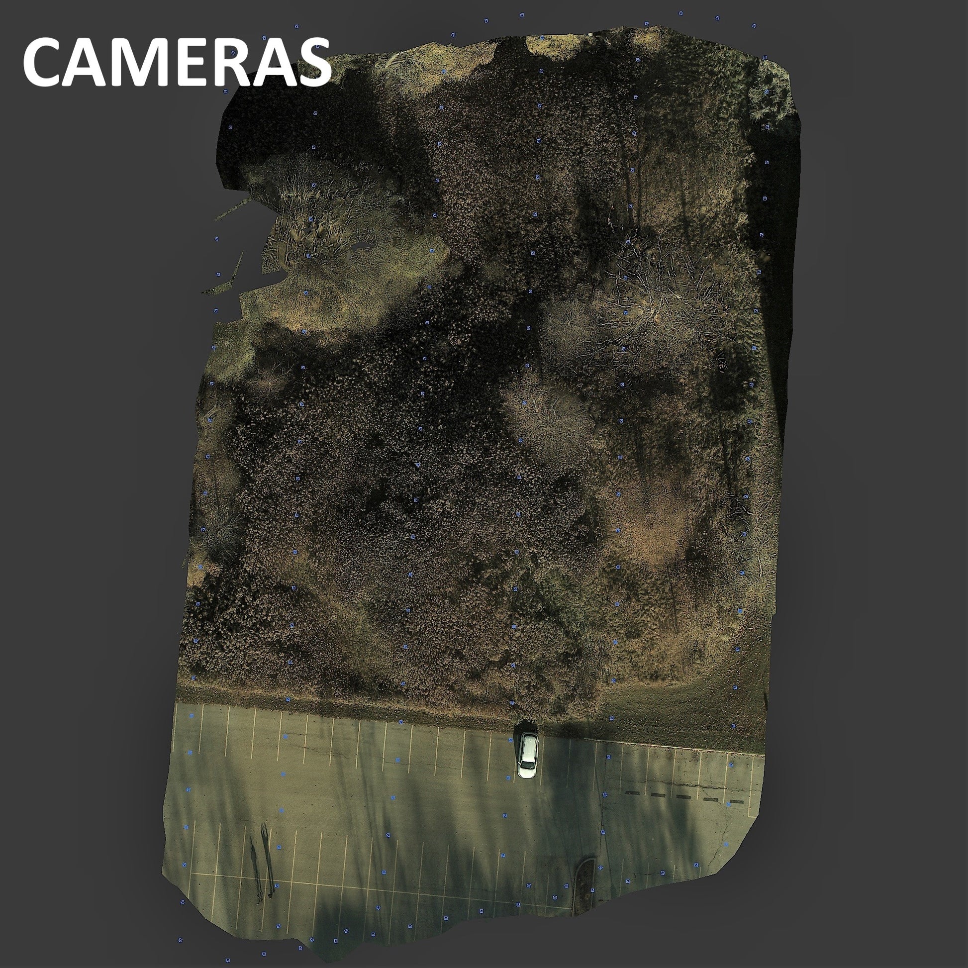
In addition to the 2D image set, the 3D rendering reconstructed from the RGB multispectral images (3D RECON) provides a more immersive perspective. Exposure positions were marked in blue on the accompanying color image (CAMERAS), and images were captured every 3m at a flight speed of 5m/s and altitude of 30m, with an exposure time of 2ms per frame. The camera was equipped with a 16mm standard lens with an aperture of f/4.5, providing a field of view of 21.12m x 21.12m per frame and a ground pixel size of 4cm x 4cm (2cm x 2cm debayered).
All image processing was performed using Spectral Devices multispectral batch processing software and 3DF Zephyr Lite (3Dflow Srl), and the images were down-sampled for web viewing.