Geo-Referenced Orthomosaic mapping
Geo-Referenced Orthomosaic mapping
Become a customer to access all support documents.
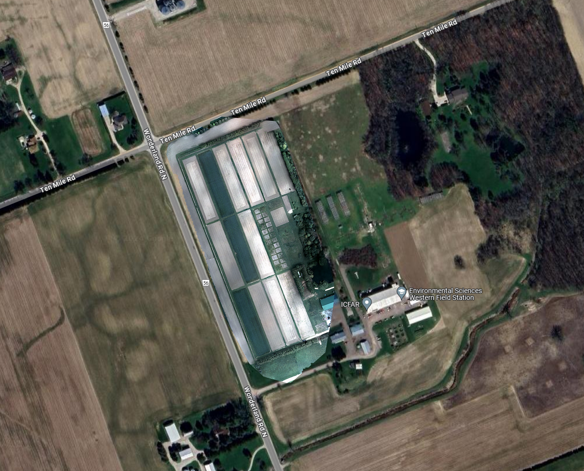
This image set was captured using an MSDC-2-4 system equipped with MSC2-RGBN-1-A drone camera. The camera was equipped with a 25 mm standard lens with an aperture of f/4. Images were collected flying the drone in a grid pattern at an altitude of 100 m resulting in a field of view of 44 m x 44 m per frame and a ground pixel size of 8.5 cm x 8.5 cm.
Data set consisted of 448 images (512 x 512 px) of each band (RGB-NIR). All image pre-processing and image geotagging was performed using Spectral Devices multispectral batch processing software msInspector.
The Open Drone Maps software WebODM was used to reconstruct multispectral orthomap. Using the geo-references from image metadata WebODM displays the reconstructed orthomosaic map overlaid on the satellite imagery or street maps.
